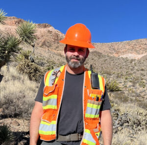
Land Surveying

Surveying is an integral part of nearly every project and Robison Engineering has you covered.

Our field crews and Licensed Surveyors combine for over 100 years of on-the-job experience with everything from simple construction staking to the cutting edge of unmanned aerial drone surveying. Using modern technology and current survey methods, Robison Engineering looks forward to providing your project with the following services in conjunction with our Civil, Mining, and Structural Departments:

  • Residential and commercial construction staking

  • Mine claim staking and maintenance

  • Boundary surveys such as parcel maps, record of survey maps, boundary line adjustment, tract, and subdivision

  • Recorder and title support and research

  • Legal descriptions

  • Boundaries, easements, and rights-of-way

  • GIS Mapping

  • Unmanned aerial and conventional topographic and as-built mapping

  • Geotechnical services such as nuclear densometer testing

  • Water rights surveying

  • American Land and Title Surveys

  • FEMA elevation certificates, LOMR (Letter of Map Revision) and LOMC (Letter of Map Correction)

  • Percolation testing

  • Special inspections

  • Topography, volumetric calculations, as-built mapping, cross-sections

Surveying Team

P.E. – 6642 | P.L.S – 6642 | W.R.S. – 717
Mike Smith, PE, PLS, WRS has been an Engineer and Surveyor in NV and CA since before you were born. He graciously joined the Robison team in 2021 to do a bit of mentoring, and quickly found himself back in the project fast lane, in growing responsible charge and surrounded by independent young professionals thirsty for knowledge. “Once in a Lifetime” by the Talking Heads is on a constant loop in his pickup truck.

Survey Crew Chief
Chris “Baxter” has been surveying for most of his working life; a hard-working and honest man who believes “Rome wasn’t built in a day, but the control points won’t set themselves.”

L.S.I.T – L0505, Survey Crew Chief / Safety Officer
Rich has been in the profession of land surveying for 12 years. He enjoys the interaction between people and plans. The world isn’t 24”x36” and flat. That’s why we’re here. If he isn’t working or spending time with the kids, you’ll see him on the disc golf course.

UAS Professional, Survey Crew Chief
Ryan Sigler has been at Robison since 2011, and leads our UAS / Drone program, so he is on the front lines of the coming robot revolution. When not in the field, he’s processing data, worrying about data, and daydreaming about creating even better data.

Available services

Civil Engineering

Civil engineering expertise in residential, commercial, or industrial applications.

Civil Engineering

Civil engineering expertise in residential, commercial, and industrial applications.

Structural Engineering

Our structural team provides solutions to meet your needs.

Structural Engineering

Our structural team provides solutions to meet your needs.

Mining Engineering

Dedicated to extractive industries and the ability to mine sustainably.

Mining Engineering

Dedicated to extractive industries and the ability to mine sustainably.

Land Surveying

Provide legal and physical definition of Nevada and California land.

Unmanned Aerial Survey (UAS)

Nevada’s first Unmanned Aerial Survey (UAS) professionals.

Unmanned Aerial Survey

Nevada’s first Unmanned Aerial Survey (UAS) professionals.

Environmental

Balancing science with practical needs of industry and regulators.

Environmental Engineering

Balancing science with practical needs of industry and regulators.

Water Rights

We can assist both clients and the Division of Water Resources.

Water Rights

We can assist both clients and the Division of Water Resources.

Construction Support

Concept-to-finish understanding saves our clients money and time.